I did this with one 48V 15Ah Lipo pack, but I was weighed down with a backup 11.5Ah LiFePo4 pack. I took a detour to a section of the Oak Point Park and Nature Reserve in Plano, so the actual route was a few miles longer. Some stats:
35.7 miles, 640 watt hours, 13.89 amp hours
17.9 watt hours per mile
Average speed: 10.5 mph
Highest speed: 23.2 mph
Here's the route on mapmyride.com:
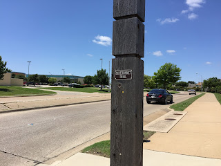
Bray Central Dr in Allen:
At the beginning of the Watters Branch (Creek) Trail in Allen:
It's hard to see, but there's a waterfall here - it was pretty loud:
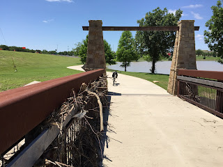
Underpasses suck after floods:
E-Lab Trail:
Watters Creek:
E-bike with 15Ah of Lipo, and 11.5Ah of LiFePo4 for backup:
Took a wrong turn - this trail can be confusing:
The loop at W McDermott Dr, near Watters Rd:
Privately stocked lake:
Cycle Analyst 3:
Lake and wind turbine, near Suncreek Park on Alma Dr:
Plano actually takes bicycling seriously enough to have separately marked routes:
On the Bluebonnet Trail in Plano:
I deviated to check out Oak Point Park, but eventually turned around once I saw how much mud got laid down on the trail after the prev. 2 week's flooding. Mud sucks, so I'll come back when it's dry.
Extreme underpass mud:
More of Bluebonnet Trail:
Now on the Preston Ridge Trail heading north back to Frisco/McKinney:
The benches are a nice touch to an otherwise bleak view:
I can't believe how civilized the trail amenities are in Plano. A place to wash and repair your bike!
Final pic, back in McKinney on the trail on the dam behind the Adriatica Bell Tower. I skipped taking pics on the way back because I covered this leg of the loop on a previous blog post.


